Origem do TucuJu Desenrolado – Atlas

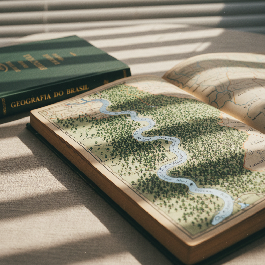
Este blog nasceu do amor por três paixões: a geografia, os mapas e os lugares que nos encantam. Há tantos destinos fascinantes no Brasil, cada um com sua singularidade e história! Vamos juntos embarcar nessa jornada de explorar as belezas do Brasil, onde cada local promete nos surpreender e nos fazer sentir emoções inesquecíveis!

A sophisticated wall-sized physical atlas of Brazil mounted in a minimalist study, each macro-region distinguished by refined, desaturated tones that feel like aged analog film. Detailed relief shading reveals the Serra do Mar and the Planalto Central, while the Amazon Basin appears as a vast textured green expanse. Below the map, a slim console table holds neat stacks of geography books and a single antique globe focused on South America. Soft, diffused overcast daylight enters through an unseen window, casting an even glow that emphasizes the paper’s fine grain. Captured straight-on at eye level with a wide frame, everything is in crisp focus, creating a calm, intellectual atmosphere ideal for in-depth geographic exploration.
A refined close-up of the Amazon region in an old-style Brazilian geography atlas, the page edges slightly yellowed like real analog film. The dense rainforest is depicted in intricate, tiny tree symbols, with the Rio Amazonas rendered as a broad, sinuous silver-blue ribbon winding across the spread. Small, carefully printed labels identify tributaries and border lines with neighboring countries. The book rests on a linen-covered table, with a dark green hardcover labeled “Geografia do Brasil” partially visible. Morning light filters through slatted blinds, creating rhythmic bands of light and shadow across the page. Shot at a shallow angle with a macro lens, the foreground text is razor sharp while the background gently blurs, giving an intimate, exploratory mood.

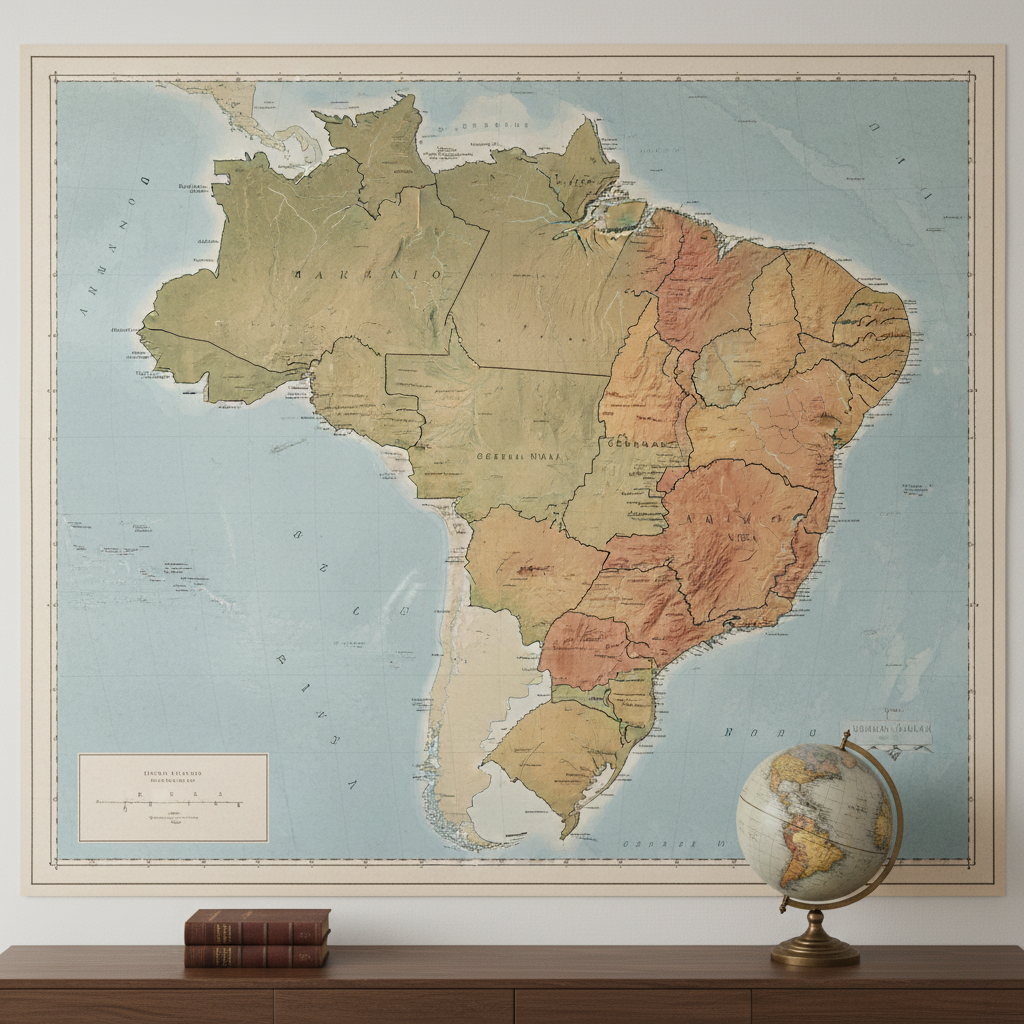
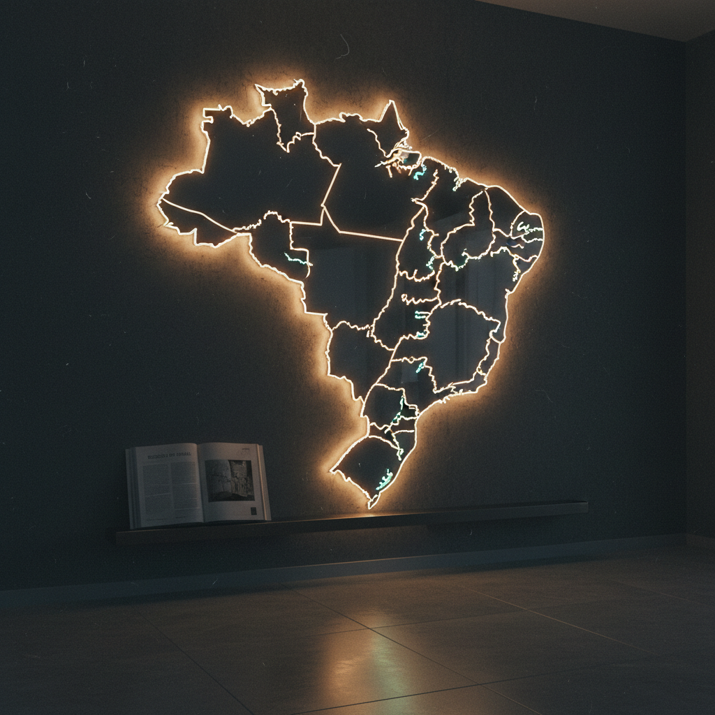
Um Atlas Digital e Vivo do Brasil

Como um apaixonado pela exploração e geografia, criei este blog para descobrir detalhes de cada canto do Brasil! Este atlas digital irá compartilhar um guia vibrante das cidades e a apresentar mapas detalhados que revelam as belezas e peculiaridades de nossas regiões, estados e cidades. Aproveite!

Fale com o TucuJu Desenrolado

Use o formulário para falar com a equipe do TucuJu Desenrolado – Atlas. Professores, estudantes e pesquisadores são muito bem-vindos para enviar sugestões de temas, apontar correções, propor parcerias educacionais e tirar dúvidas específicas sobre conteúdos de Geografia do Brasil. Respondo às mensagens com o máximo de cuidado, sempre buscando indicar fontes confiáveis, materiais complementares e possibilidades de uso do atlas em sala de aula, em projetos acadêmicos ou em atividades de divulgação científica.

An analog-film style night scene of Brazil’s territory represented by a sleek, backlit acrylic map set into a dark wall, each state outlined by thin, warm white lines and the country borders shining slightly brighter. Major rivers and the coastline glow with a softer, cooler light, subtly hinting at hydrographic networks. Below, a narrow shelf holds a single, open modern atlas turned to a page titled “Regiões do Brasil.” The space is dim, with the map acting as the primary light source, casting a gentle halo on the wall and faint reflections on the polished stone floor. Photographed from a low, slightly off-center angle, the scene feels contemplative, high-end, and designed for sophisticated geographic immersion.

Macapá, Amapá, Brasil.

tucujudesenrolado@gmail.com

Atendimento por e-mail, segunda a sexta