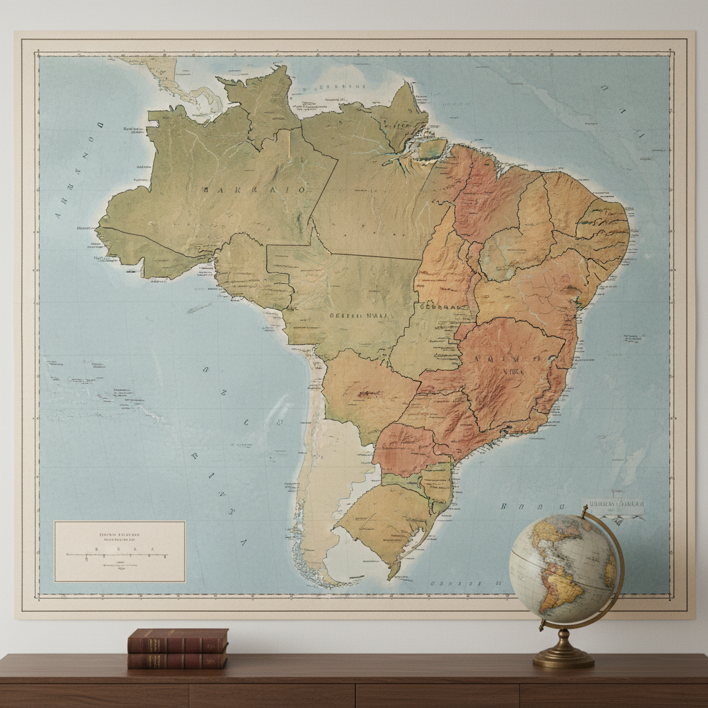
Atlas de Mapas do Brasil
Veja nesta seção uma coleção abrangente de mapas das diversas regiões e cidades do Brasil, proporcionando uma ferramenta valiosa para exploração e aprendizado. Descubram características geográficas, culturais e históricas de diferentes localidades. Conheça a rica diversidade da geografia brasileira!
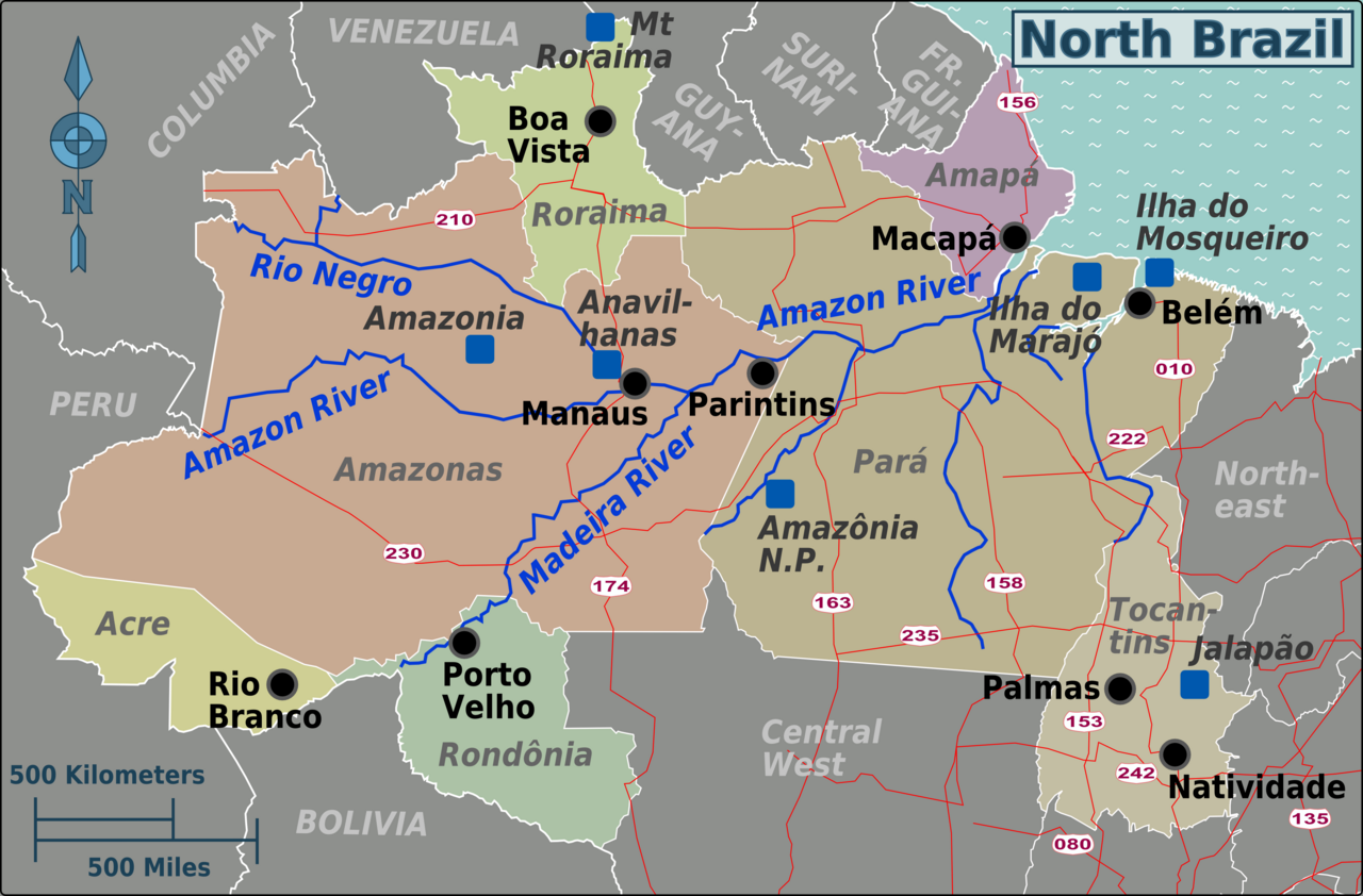
Região Norte
Encontre nesta seção os mapas das cidades da região Norte do Brasil. Aqui, você poderá visualizar os mapas dos municípios, provenientes de fontes confiáveis e oficiais. Aproveite!
Tutorial: Clique nas imagens para ampliá-las; clique no nome dos municípios para ler um artigo completo explorando o local.
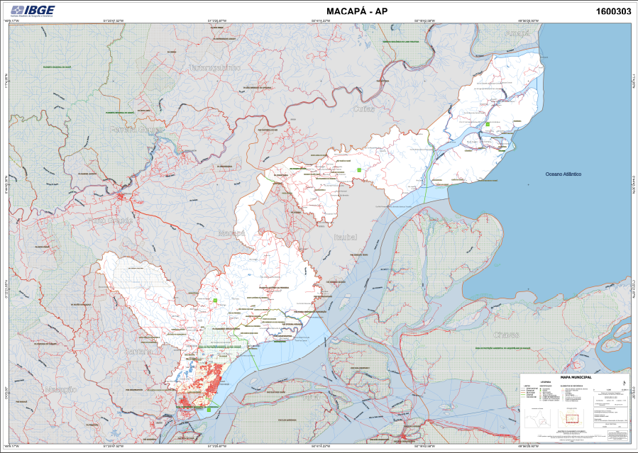
Fonte dos Mapas: Instituto Brasileiro de Geografia e Estatística (IBGE)
Crédito da Imagem de Fundo: ClausHansen, CC BY-SA 3.0 https://creativecommons.org/licenses/by-sa/3.0, via Wikimedia Commons
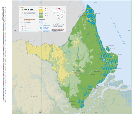
AMAPÁ
Capital: Macapá
Área Territorial: 142.253,88 Km²
População: 806.517 [Estimativa 2025]
Densidade Demográfica: 5,15/Km²
IDH: 0,688
Bioma: Amazônico
Clima: Equatorial úmido
Principais Rios: Amazonas, Amapari, Araguari, Jari
Macapá (AP)